3D Spatial Coordinates Mapping
Providing detailed, precise mapping data of your underground and subsea networks.
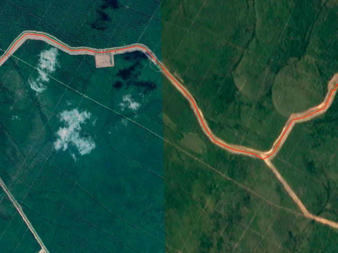
Pipeline mapping and XYZ coordinates tracking is a specialized inline inspection technique that uses an integrated inertial measurement unit (IMU) inside the smart pig. This advanced navigation system records the exact trajectory and profile of the pipeline in three dimensions (latitude, longitude, and elevation) as the pig travels through the line.
Through this comprehensive survey, our clients receive highly accurate spatial data of the pipeline route, which is essential for assessing strain-stress conditions, landslide impacts, or seabed movements. The final technical report provides the exact GPS coordinates of any detected features or anomalies, significantly simplifying field localization for maintenance and repair campaigns.